





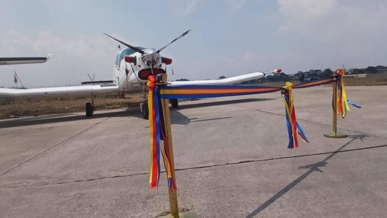
The Democratic Republic of the Congo has officially launched an airborne geophysical and geological mapping campaign to enhance scientific knowledge of its subsoil while reducing the financial and operational risks associated with mineral exploration.
Mines Minister Louis Watum inaugurated the operations at Ndolo Airport in Kinshasa alongside officials from the National Geological Survey of Congo and technical partner XCalibur.
Building on existing surveys conducted in Greater Katanga, the new airborne mapping phase will focus primarily on Kongo Central, Kwango, Kwilu, and Greater Kasai. The initiative aims to generate critical geophysical data to identify subsurface structures and potential anomalies, though government officials clarified that identified anomalies must still undergo further ground-based fieldwork to confirm actual mineral deposits.
Emphasizing the broader vision of the campaign, Watum highlighted that investing in geoscientific research today will streamline exploration timelines and lower costs for geologists, researchers, and future Congolese mining entrepreneurs. Technical projections indicate that the program will expand the country’s geoscientific coverage from 22.27% to 46.1%, representing a significant increase in the available data regarding the nation’s geological composition.
In support of the program, Raoul Wazenga, Director-General of the National Geological Survey of Congo, advocated for a permanent and predictable state funding model to ensure ongoing geological research. Ultimately, the Congolese authorities intend for the expanded mapping to establish a robust scientific foundation, optimize resource development, and improve the overall assessment of investment opportunities across the mining sector.
TE/Sf/lb/abj/APA