



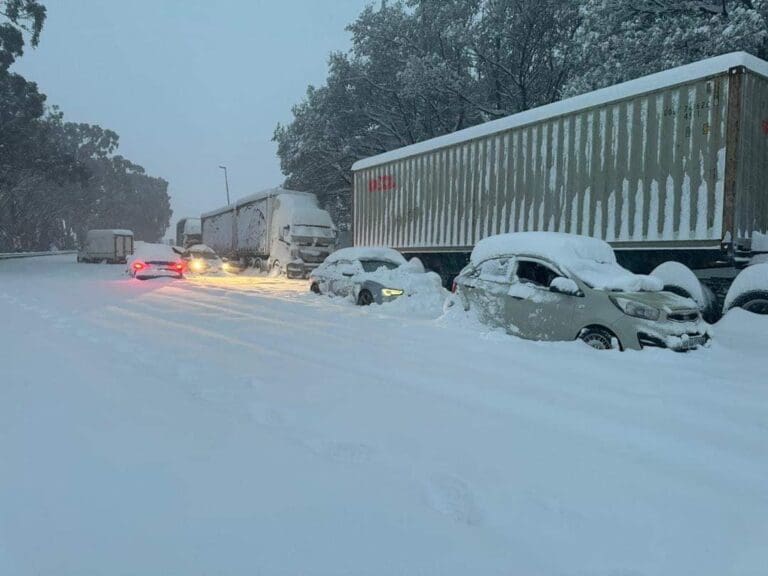
The South African Weather Service has warned that very cold, wet conditions with light snowfall are expected from Wednesday evening across parts of Eastern Cape, KwaZulu‑Natal and Free State provinces.
The SAWS said the system is being driven by a cut‑off low that will move eastward and begin clearing on Thursday although cold and partly cloudy conditions with isolated showers are forecast to persist into Friday.
The weather experts warned that disruptive rain could cause flooding of roads, bridges and settlements along the coastline and adjacent interior between East London and Cape Vidal.
Disruptive snowfall is also expected over the north‑eastern high ground of the Eastern Cape and the Drakensberg region of KwaZulu‑Natal, with risks of traffic delays, temporary isolation of communities and interruptions to essential services.
Farmers have been advised to take precautionary measures to protect livestock and infrastructure.
Snowfall in South Africa is uncommon but not unprecedented. In recent years, cold fronts and cut‑off lows have brought snow to high‑lying areas of the Eastern Cape and KwaZulu‑Natal, including the Drakensberg, Barkly East, Molteno and parts of the Sneeuberg.
These events typically occur during strong winter systems and often lead to road closures, livestock losses and short‑term disruptions in rural communities.
JN/APA